Why North La Verne's Disclosure Paperwork May Stay Silent on the Fault Beneath It
A house in North La Verne can sit directly above a fault capable of a magnitude 6 to 6.5 earthquake and still show a clean "no" on the seismic hazard section of its disclosure statement. That is not a paperwork error. It is how the law is written.
If you are shopping the hillside enclaves above Foothill Boulevard, or selling out of one, the gap between what the disclosure form asks and what the ground actually holds is worth understanding before you sign anything.
On February 28, 1990, at 3:44 in the afternoon, the ground shook hard enough to injure thirty people and cause an estimated $12.7 million in losses across the region. The epicenter sat about two miles northwest of Upland, close enough to La Verne and Claremont that both cities felt it directly. It was not the first time. A smaller quake had struck the same patch of ground in June 1988. Seismologists who studied both events traced the shaking to the same source: the San Jose Fault, an 18-kilometer fault that runs beneath Claremont, La Verne, and Pomona.
Here is the detail that matters for anyone buying or selling in this corridor. Caltech's Southern California Earthquake Data Center notes that the 1990 event produced no surface rupture. Researchers who mapped the aftershocks describe the San Jose Fault as concealed, meaning it does not break through to daylight the way a fault like the one that tore through the ground during the 1994 Northridge quake's more visible cousins did. The fault moved. The damage was real. The surface stayed intact.
That distinction, surface rupture versus no surface rupture, is the entire hinge of what happens next on a disclosure form.
The Alquist-Priolo Earthquake Fault Zoning Act became law in 1972, a direct response to the 1971 San Fernando earthquake, which tore through neighborhoods and damaged buildings sitting right on top of the rupture. The Act does one specific thing: it directs the California Geological Survey to map the identified surface traces of active faults, then requires disclosure if a property does sit inside a mapped zone; separate rules govern when a geologic investigation is required.
The operative word is identified. A fault has to leave a visible trace for the state to draw a zone around it. The law was never built to catch faults that stay buried. The 1994 Northridge earthquake is the standard example cited by geologists: it struck on a blind thrust fault that was never zoned under Alquist-Priolo, precisely because it left no surface evidence for the mapping program to find.
The San Jose Fault fits the same pattern. A fault with that profile is exactly the kind of active fault that can exist beneath a neighborhood without triggering the checkbox that most buyers assume covers "earthquake risk."
Translated for a purchase contract: a "no" on the Alquist-Priolo line means no mapped surface trace. It does not mean no fault, and it does not mean no history of shaking.
Part of the confusion is that California disclosure paperwork actually splits earthquake risk into two separate legal categories, governed by two separate laws with two separate maps.
| Hazard type | Governing law | What triggers disclosure |
|---|---|---|
| Surface fault rupture | Alquist-Priolo Earthquake Fault Zoning Act (1972) | Property sits inside a zone drawn around an identified, mapped surface trace |
| Liquefaction, landslides, amplified ground shaking | Seismic Hazards Mapping Act (1990) | Property sits inside a separately mapped hazard zone for those specific conditions |
A concealed fault like the San Jose Fault can fall entirely outside the first category while the surrounding hillside terrain still carries real exposure to landslide or shaking hazard under the second. Reading a disclosure packet as a single pass or fail on "earthquakes" misses that the two laws are answering different questions with different maps.
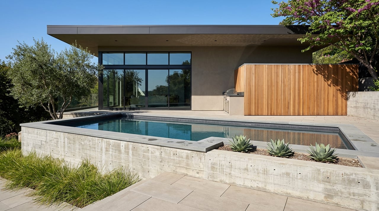
The hillside terrain north of the 210, where the San Jose Fault runs closest to the surface, is also where La Verne's highest-value custom and gated-community inventory sits. Marshall Canyon Estates, La Verne Oaks, and Sierra La Verne all sit in this band, built into the foothill terrain near Marshall Canyon Golf Course and within reach of Lowell Brandt Park and Live Oak Park. It is the same foothill open space the La Verne Land Conservancy has spent years working to protect through its trail programs in Marshall Canyon.
Listings in these hillside communities routinely cross into seven figures, reflecting the view lots, larger parcels, and custom construction that define this part of the city. Buyers evaluating that price tag deserve to know that the absence of an Alquist-Priolo flag on a given property is not the same as a geologist confirming there is nothing to consider. It means the state's mapping program has not identified a surface trace on that specific parcel, which for a concealed fault like this one may simply reflect the nature of the fault rather than the absence of risk.
If you want to check a specific address rather than rely on general geography, the California Geological Survey maintains the Earthquake Hazards Zone Application, a public tool built for exactly this kind of parcel-level lookup, through its Alquist-Priolo program page.
There is a second layer to this that matters specifically for the kind of homes common in these hillside neighborhoods. Even when a property does sit inside a mapped Alquist-Priolo zone, the Act's mandatory geologic investigation requirement, the part that forces a licensed geologist to sign off before a permit issues, does not apply to every structure equally. Single-family wood-frame or steel-frame dwellings of two stories or less, built individually rather than as part of a development of four units or more, are exempt from that investigation requirement.
Most of the custom estates in Marshall Canyon Estates, La Verne Oaks, and Sierra La Verne fit that description. That does not remove the disclosure obligation if a property does sit inside a mapped zone, but it does mean the extra layer of state-mandated geologic review that applies to condominium developments or four-plus-unit projects on a fault trace may never have been triggered for a detached custom home, even one built well after 1972.
For a buyer looking seriously at a hillside lot in this part of La Verne, a few questions get past the checkbox and into the actual record:
None of these questions require a legal opinion to ask. They require knowing that the disclosure form is answering a narrower question than most buyers assume it is.
Does this mean hillside homes in North La Verne are unsafe? No. It means the standard disclosure checkbox answers a specific, narrow legal question about mapped surface traces, not a general question about seismic exposure. Homes across nearly all of Southern California carry some level of earthquake exposure. The point here is understanding what a given disclosure does and does not confirm.
How do I find out if a specific La Verne address sits in a mapped hazard zone? The California Geological Survey's Earthquake Hazards Zone Application allows a parcel-level search against the official Alquist-Priolo and Seismic Hazards Mapping Act maps. It is the same tool title companies and geologists reference when preparing disclosure paperwork.
Paperwork tells you what a mapping program has confirmed. It does not always tell you what a geologist, a grading permit history, or an old soils report might reveal. In a hillside market like North La Verne's, where custom construction and view lots carry premium prices, that gap is worth closing before you are past your contingency period, not after.
Team Andrade has spent years working probate, trust, and high-value transactions across La Verne's hillside neighborhoods, and reading a disclosure packet for what it actually says, not just what buyers assume it covers, is part of that work. If you are evaluating a hillside purchase or preparing to list one, reach out for a free home valuation and a personalized plan.
This article is general information, not legal, tax or financial advice. Consult a qualified professional about your situation.

Navigating the journey of buying or selling a home can be a breeze when you've got the right expert by your side. We're here to simplify the process for you, tackling all your questions with honesty and dedication. Even if we don’t have an immediate answer, we promise to find it for you. Let's make your real estate experience smooth and stress-free together!

299 W FOOTHILL BLVD STE 212 UPLAND CA 91786 Yolanda Andrade | CA DRE# 01748163